Swan Supplies Militaria
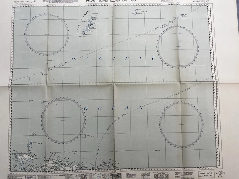
RAAF WW2 1944 Palau Island Navigation Chart
RAAF WW2 1944 Palau Island Navigation Chart
Regular price
$35.00 AUD
Regular price
Sale price
$35.00 AUD
Quantity
Couldn't load pickup availability